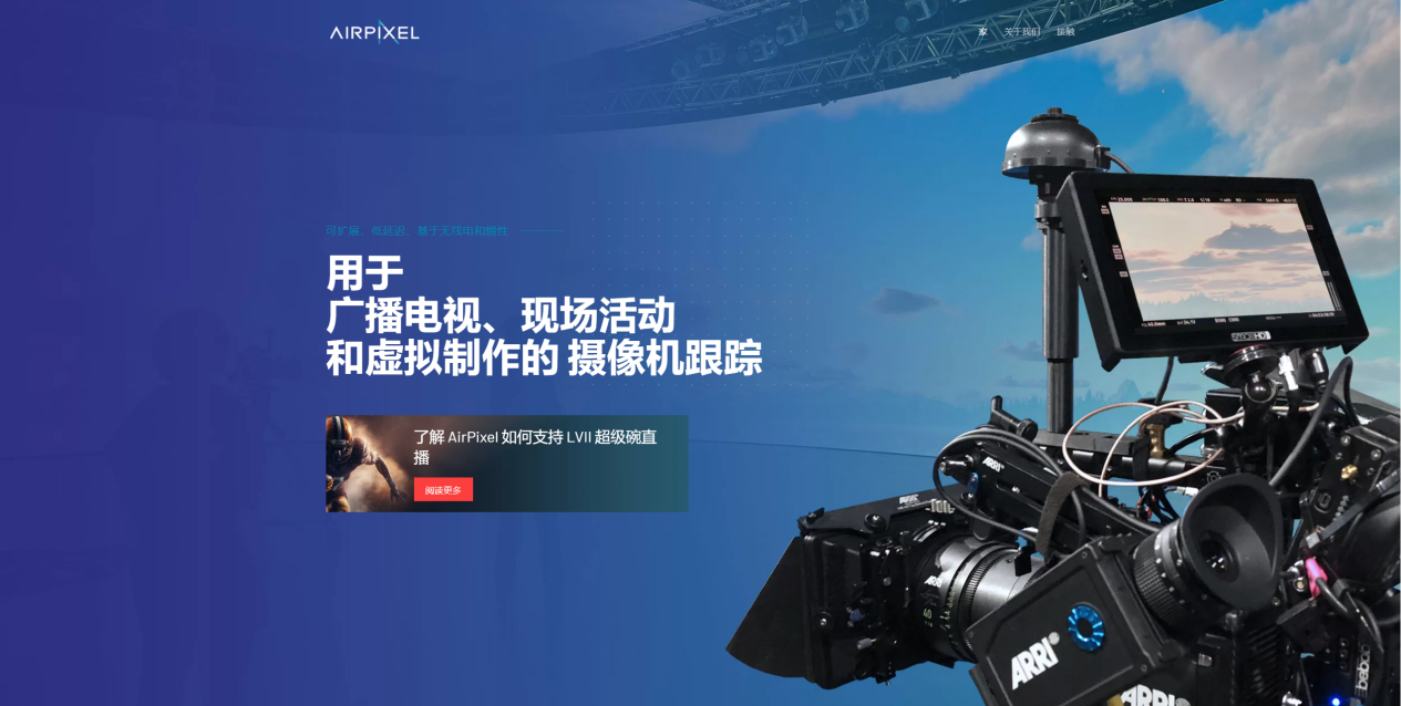
AirPixel Camera Tracking
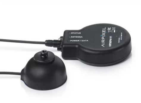
The AirPixel camera tracking system combines ultra-wideband (UWB) radio signals with inertial sensors, operating on a principle similar to GPS: a receiver calculates its position and orientation by communicating with multiple beacons. Because it does not rely on encoders or optical tracking, AirPixel is unaffected by changes in lighting or weather conditions, and continues to output stable positioning data even under strong light or large lighting variations; the combination of UWB and inertial sensors enables high-precision tracking of all camera movements over a large area, delivering accurate tracking data throughout the entire stadium.
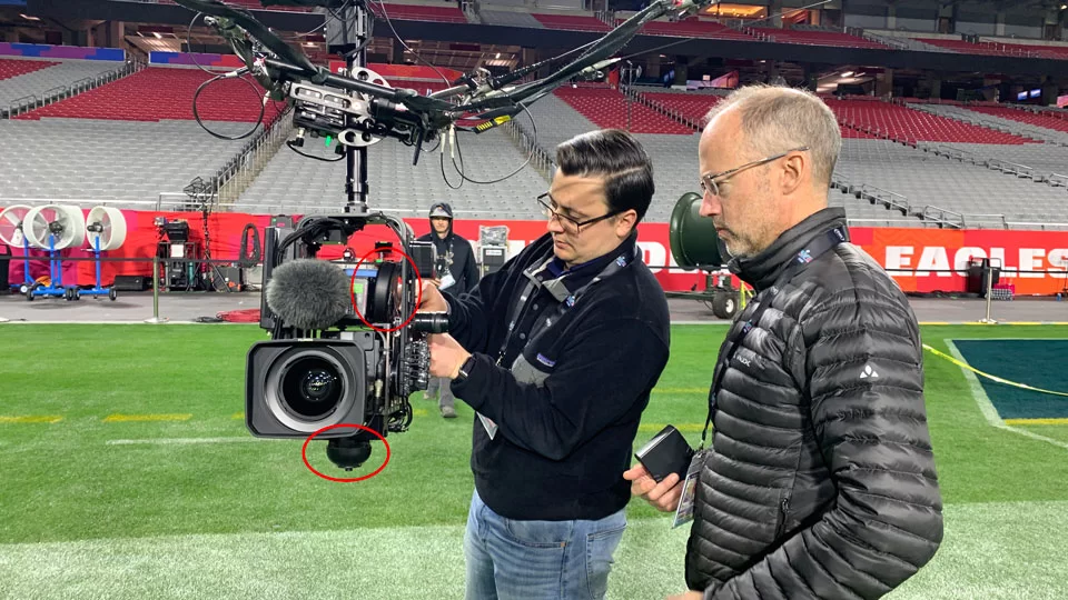
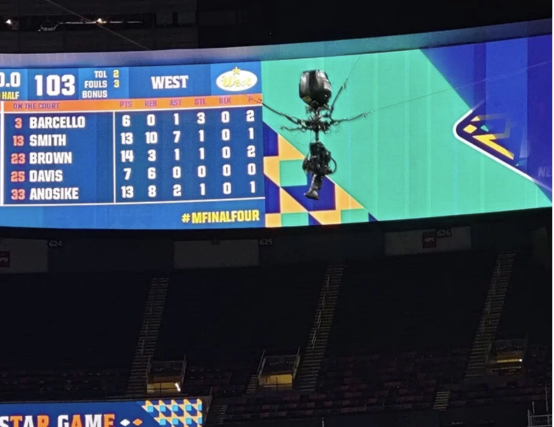
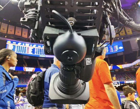
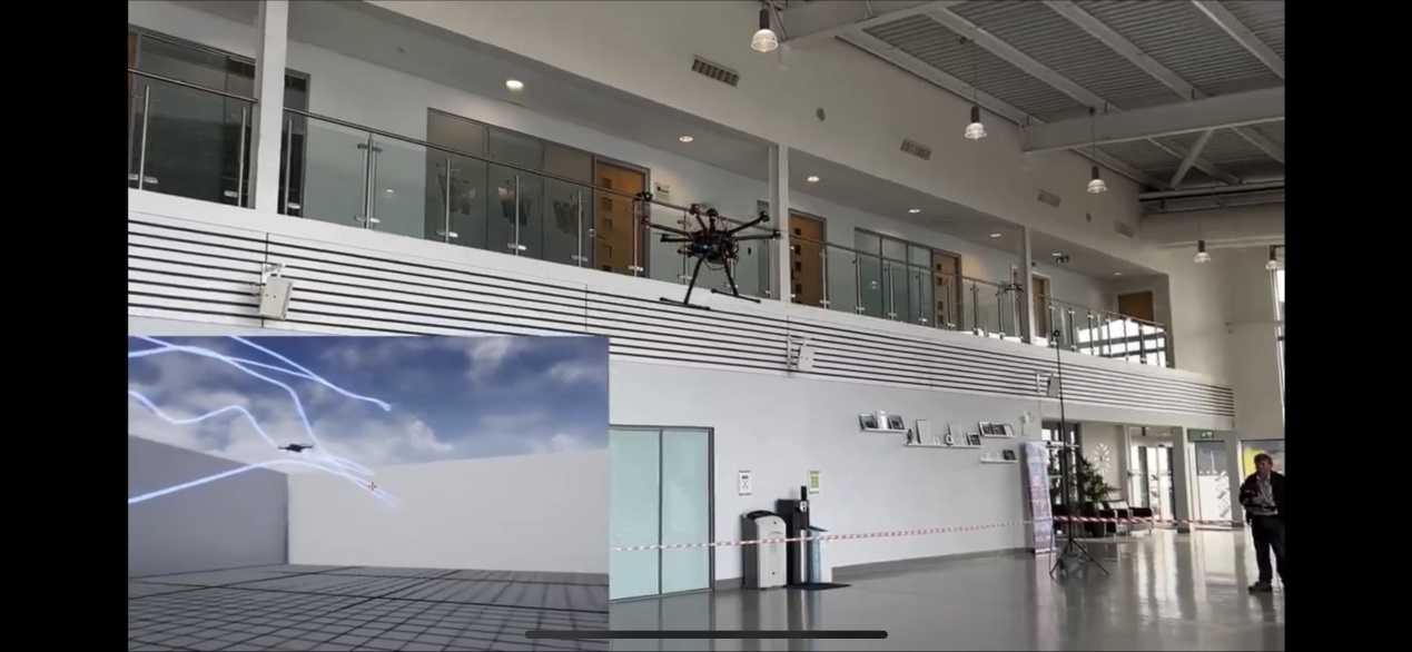
AirPixel integrates directly with the camera to capture focus, aperture and zoom values, allowing graphics to interact with the motion generated by the camera and its physical movement, and integrates seamlessly with mainstream rendering solutions such as Unreal Engine, with data output using the AirPixel or FreeD protocol. The system works with many camera systems and has been used with camera cars, Steadicams, jib arms and cable cams, operating under any lighting condition including complete darkness, providing accurate data for shots that are traditionally difficult or impossible to track.
The AirPixel XT version centers on high-precision GNSS RTK technology. By receiving differential correction data from a base station or network, it upgrades the originally meter-level GNSS signal to centimeter-level accuracy; relying on a deep fusion algorithm of GNSS RTK and IMU to reduce drift, jumps and jitter, it simplifies the deployment process. After initial system calibration, the site is typically ready and outputs stable data within five minutes, making it especially suitable for large outdoor production environments.
Product Features
·UWB high-precision positioning (AirPixel) / GNSS RTK centimeter-level positioning (AirPixel XT): maintains stable and accurate absolute 3D positioning even when devices move at high speed or are in complex environments
·High-speed IMU fusion: in a Kalman filter framework, fuses IMU with UWB/GNSS data in real time and continuously corrects drift and errors, still providing continuous and smooth motion trajectories when signals are briefly disturbed
·Does not rely on encoders or optical tracking, is unaffected by lighting or weather condition changes, and works under any lighting condition including complete darkness
·Initial setup can be completed within a few hours, and reinitialization only takes within 2 minutes after power-on (the AirPixel XT is typically ready within five minutes after system calibration)
·Provides two data output protocols, FreeD and VIPS, using a timestamp synchronization mechanism to keep positioning data strictly aligned with on-site video signals, avoiding image drift, jitter or delay misalignment
·Directly integrates camera focus, aperture and zoom values, and seamlessly integrates with popular rendering solutions such as Unreal Engine
·Suitable for various camera systems such as camera cars, Steadicams, jib arms and cable cams, and still provides stable AR fusion effects at sites where traditional infrared or optical solutions struggle to work, easily lose tracking or cannot cover
Main Products / Sub-products
AirPixel (UWB + inertial)
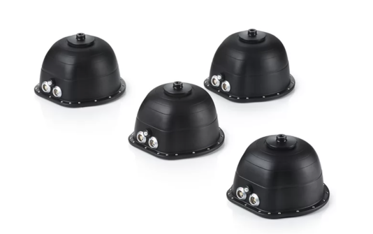
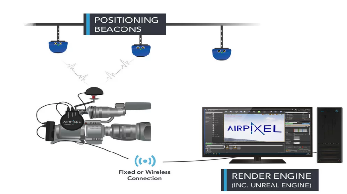
A camera tracking system based on UWB positioning beacons and IMU fusion. It solves position and attitude through positioning beacons (Positioning Beacons) installed at the top of indoor spaces and a receiver at the camera end, suitable for AR overlay and virtual production in large-scale scenarios such as studios and stadiums, and supports Fixed or Wireless connections to rendering engines (including Unreal Engine).
AirPixel XT (GNSS RTK + IMU)
A camera tracking system centered on GNSS RTK and fused with IMU, providing stable centimeter-level positioning, plug-and-play connection architecture and lightweight initialization, suitable for large outdoor production environments. It has been applied in scenarios such as the Nadam Fair in Inner Mongolia (cable cam), track and field events (cable cam + drone, Steadicam) and large venue performances.
Product Images